Looking Outwards – Final Project
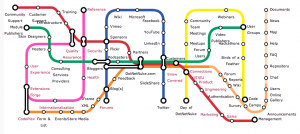
This is an interesting anti-pattern for my transit visualization. It’s a somewhat arbitrary mapping between sitemap information and a London-Tube-style map.
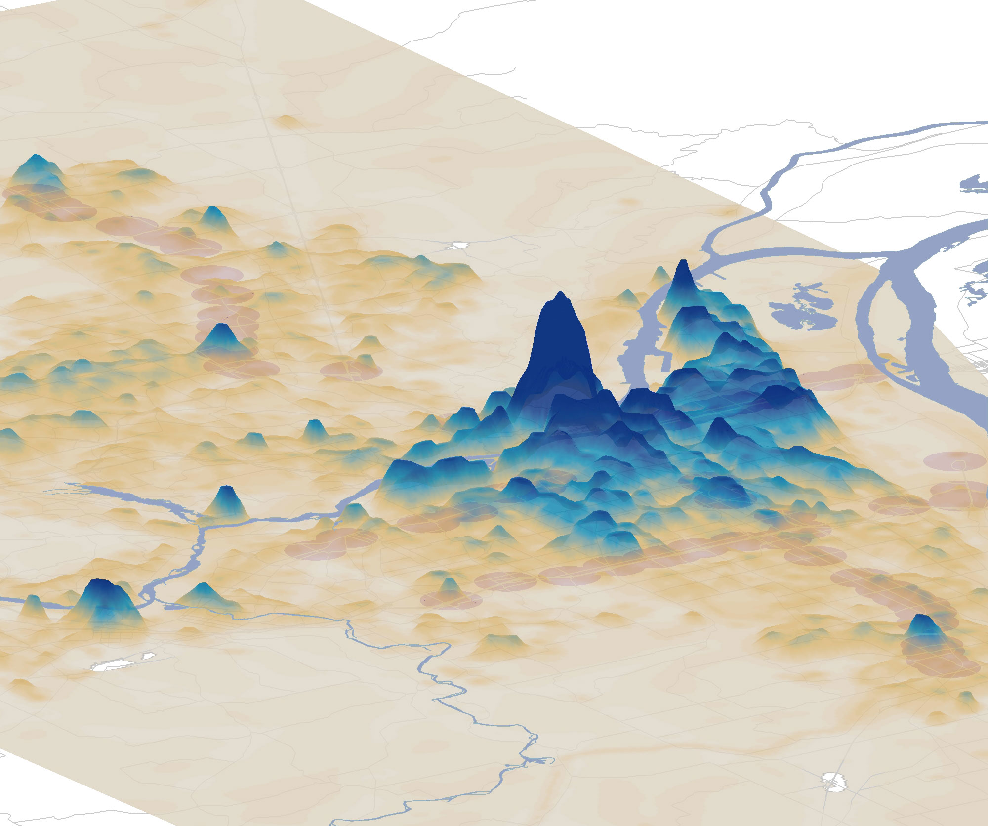
How transit-oriented is the portland region? The mapping here is pretty straightforward (transit-friendliness to height) but compelling.
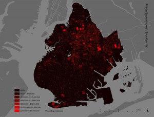
Cool project out of Columbia’s graduate school of architecture. It maps the homes of people in New York prisions on a block-by-block basis. I want my project to have this sort of granularity.
Comments Off on Looking Outwards – Final Project


