Ground Penetrating Radar in Cemeteries
When we first saw the ground penetrating radar (GPR) in class, I knew that I wanted to experiment with it. GPR doesn’t only just tell you about a place, but also the history of that place through the stratospheres of soil. It gives more context to a place, by showing the evolution of a place through objects buried underground. I think in particular though, exploring this could be interesting because here we can see the objects spatially in relation to one another without disturbing them. While archeology is interesting, one thing that is often lacking for me is the context of how these things were found and where in relation to other historical objects found in similar areas.
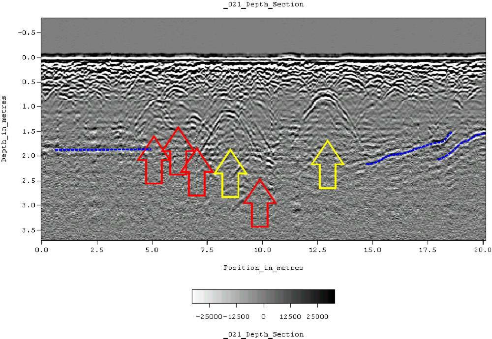
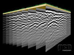
One thing that I found particularly interesting during my research is that you can create 3D models from GPR. GPR usually creates a 2D slice of what is the ground by sending a radar wave underground and seeing how the refractions react. By moving the radar slowly horizontally however and taking more pictures and combining all the data, you can get a 3D model.
I have possible 2 ideas that I would like to pursue with this in mind:
- Harmony Society Cemetery- As a child who grew up around Pittsburgh and in particular the area of Harmony, I learned the story of the Harmonites. They were a small religious group that started in the 1800’s and believed that the second Coming of Christ was coming during their lifetime. Since they believed that Christ was coming during their lifetime, they required celibacy but did not really do much converting, they died off rather quickly. Because they believed that Christ was coming soon, their cemetery is a walled off grass field that has no headstones as they believed the graves to be a temporary arrangement. I grew up passing this in the car and wanting to visit it because of the story and the enormous revolving stone door. For me, I would love to see how the unmarked cemetery looks unground so that I could get more of the story. I am unsure how I would present this but probably as some form of 3D annotated(?) map using something like open frameworks.
- Last Songs- I also think it could be very interesting to see/hear what the dead sound like. Because I would be gathering signals from the GPR, I could put these into a program like Max MSP or Pure Data and synthesize what the maps would sound like. Because the signals change when there is something there, I would essentially be able to hear where objects were (for examples bones). I think it could be particularly interesting to do this for deceased musicians, as then their coffins/bones/resting place would become their last song. I would probably try to show this in a head-tracking VR scenario (possibly the vive). I would create a unity project that would play the synthesized audio for wherever you were in the 3D space. I could also make a representation of what the underground 3D map looked like to allow people to have a visual as they move throughout the space. Using the Vive would be particularly interesting for me as I feel as though I could possibly get a one to one relationship between ground space and VR area (Vive areas and grave space are relatively similar). Although this would technically be a place, this also creates a portrait of the deceased person below. If I were to do this, I would probably start with Stanley Turrentine or Lillian Russel as they are both musicians at Allegheny Cemetery (close by).
