Generating a time-lapse of sky contours transitioning into shapes from google street views.
http://maps.googleapis.com/maps/api/streetview?size=1200×1200&location=40.720032,-73.988354&fov=180&heading=0&pitch=90&sensor=false
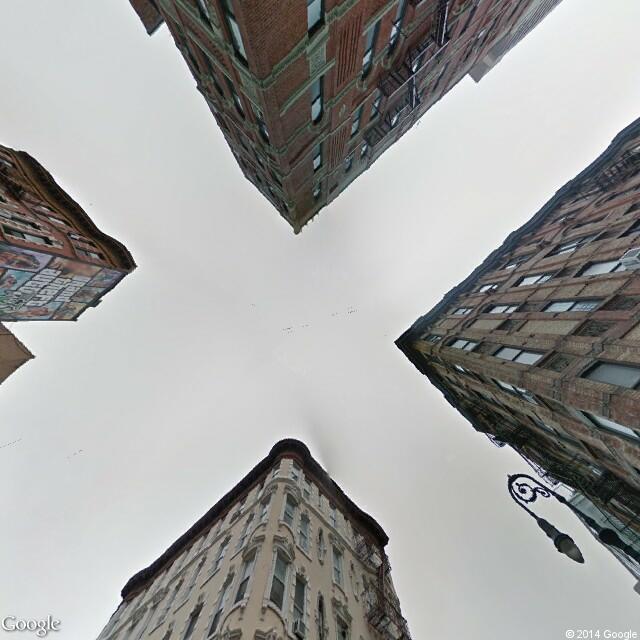
Identifying contour of sky (using OfxCV color contour recognition)->

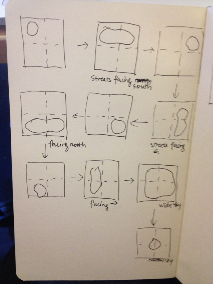
A storyboard of a simple contour animation
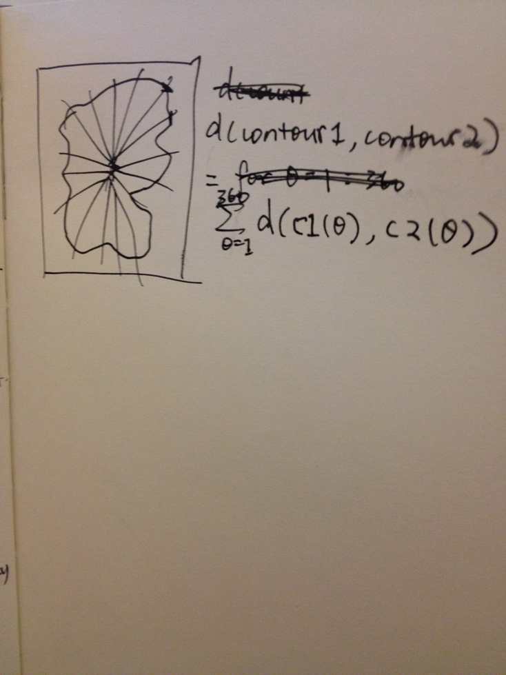
How to compute difference between contours:
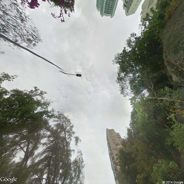
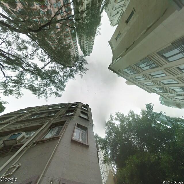
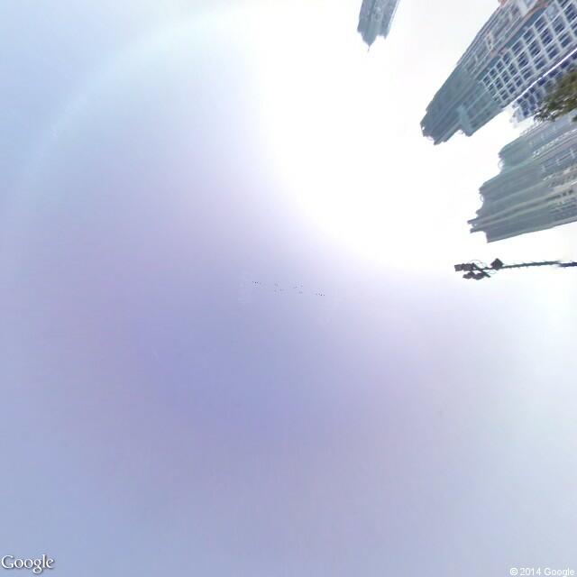
A few views of sky in Hong Kong:

Questions:
How to scrape sky views of the whole world?
Mapreduce?
Better nearest contour searching algorithm?
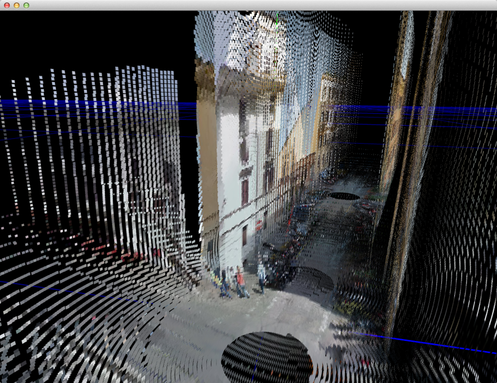
Earlier experiments: