Here’s another post on my capstone project, and hopefully this time it will give a better idea of what I am trying to accomplish.
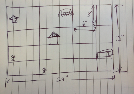
So I am planning on laser-cutting a map of Beijing on acrylic. Size-wise, right now I am thinking about 12 in x 24 in because that’s the biggest size a laser cutter can cut in one piece. I can also laser cut the maps into different pieces, and attach them together. I got the map from www.openstreetmap.org, and find all the main tourist attractions that I have visited during my trip. I am going to use Illustrator to do a vector draw, and laser cut it on opaque black acrylic. I am hoping to make a very detailed map, but that depends on how well I can do the vector drawing and the accuracy of a laser cutter.
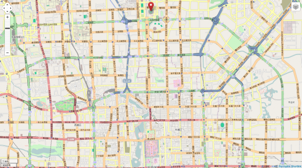
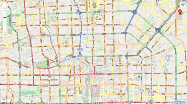
Here are a couple of maps I got from www.openstreetmap.org with tourist places marked. I will combine them to make one big map.
This is how I am going to draw out the map in Illustrator:
Since I never used a laser cutter before, I didn’t know that you need hair-sized lines, and not filled shapes, for it to be able to cut. I am planning on have this cut to see how accurate the map will look, and what if acrylic is an appropriate material for me to use. (Or should I just use paper? Would it burn the paper? I guess I have to test it out)
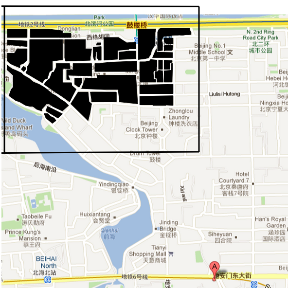
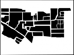
I found this project after researching how to laser cut a map, and I hope to make a map as accurate as this. We’ll see how close can I get.
After the map is cut, I am thinking about either projecting it on the screen or have someone interact with it on a table or something. Since the map is going to be rather big, I only want to project it in a smaller segment of either 3 by 6 inches or 3 by 3 inches.
You can interact with it by moving the map around physically to see different segments. And that’s where the interaction part comes into play. I really like this idea because I get to integrate the hardware and the software together to make a data visualization piece. I will somehow track the map that’s projected, and connect it with the data on different places in Beijing (That’s the main technical part I have to figure out how to do). You can click on the tourist attractions that locate in a specific segment being projected. Once the location is clicked, details, photos, information about that specific place will come up. It will also be a way for me to document the trip and for other people to learn about this city.