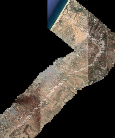
Project Description
For this assignment I mainly wanted to work with satellite imagery of conflict zones, or borders between countries or neighboring communities. My initial thought was that rendering a few different borders into a standardized format might allow for …